Le FOSS4G 2021 a commencé hier, lundi 27 september 2021, avec les premiers workshops. Les présentations commenceront demain, mercredi 29 Septembre 2021.
3Liz a 3 présentations plus 1 faîtes par ONF International :
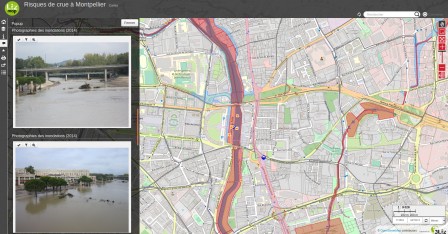
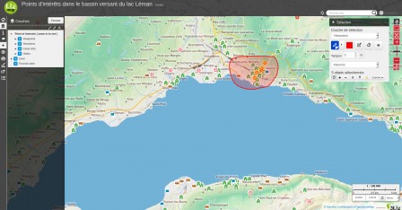
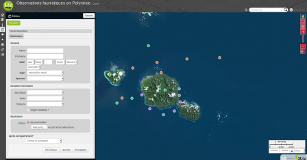
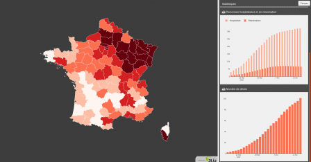
- Lizmap to create a Web Map Application with QGIS Desktop and Server
- How to use OpenStreetMap data in QGIS Desktop
- PgMetadata - A QGIS plugin to store the metadata of PostgreSQL layers inside the database, and use them inside QGIS
- How Open Source solution help to build an scalable and adaptable environmental decision platform tools
Le programme de cette année est très complet et j'ai du mal à choisir parmi la longue liste de présentations. Voici donc ma liste des présentations que j'aimerais suivre, mais que je ne pourrais pas suivre en entier :
- Printing maps in the browser with InkMap
- OSGeo in the browser: Advances in client-side WebAssembly-based Geospatial Analysis and frontend visualization using jsgeoda and Vis.gl
- Solving Spatial Problems with PostGIS
- 3D geo-applications with CesiumJS - data, possible use-cases and specifications
- Browser-side geoprocessing with Turf.js and Leaflet
- Watching after your PostGIS herd
- Geostyler Mapfile Parser
- A fast web 3D viewer for 11 million buildings
- Graph algorithms on the database with pgRouting
- pygeoapi: what's new in the Python OGC API Reference Implementation
- FOSS4GPU: Faster GIS via GPU and cuSpatial
- OpenStreetMap and the neglected pedestrian
- OGC APIs: background, current state, what's next
- Geospatial analysis using python 101
- OGC API - Deeper Dive into OGC API Features, Records and EDR
- QGIS and OGC APIs - how do they work together?
- Practical Geospatial Data Versioning with Kart
- Processing Massive-Scale Geospatial Data with Apache Sedona
- PMTiles: An open, cloud-optimized archive format for serverless map data
- MapLibre project: community driven Mapbox GL fork
- Modular OGC API Workflows for Processing and Visualization
- Cloud optimized formats for rasters and vectors explained
- Demystifing OGC APIs with GeoServer: introduction and status of implementation
- Deploying and operating GeoServer: a DevOps perspective
- QField Features Frenzy
- Seamless fieldwork thanks to QFieldCloud
- Deployment of open source vector tile technology with UN Vector Tile Toolkit
- The Very Best New Features of QGIS 3.x
- QGIS Plugin Development Is Not Scary: Lessons Learned from Literature Mapper
- QGIS MetaSearch: lowering the barrier to geospatial data discovery in the desktop
- Input, Mergin & QGIS: collect data, sync, and collaborate with ease
- GeoRasterLayer for Leaflet: Truly Server-Free GeoTIFF Visualization
- Versioning in 2021: when and how you should do it
- Using point clouds in QGIS
- GeoHealthCheck - QoS Monitor for Geospatial Web Services
- Wegue - Webmapping with OpenLayers and Vue.js
- GeoMapFish und QGIS Server
- Algorithm Talk: JSON-to-Code Compression
- Vector tile basemaps for your QGIS project
- OpenLayers Feature Frenzy
- Easily publish your QGIS projects on the web with QWC2
- MapStore, a year in review
- Deploying QGIS using command line options.
- Large scale QGIS deployments : feedback and lessons learned
- Fast, Robust Arithmetics for Geometric Algorithms and Applications to GIS
- WAPLUGIN: Water Accounting and Productivity Plugin for QGIS
- FOSS4G software developments for Water Utilities Management in Eastern Africa by using Vector Tiles
- G3W-SUITE: in OS framework for publishing and managing QGIS projects on the Web
- Giswater : open source management tool for water networks
- An implementation of FOSS4G - QGIS, QField and Vector Tiles for rural water supply management in Rwanda
- Geospatial programming with Rust
- QGIS, Football, what else ?
 QGIS Server 3.10.0 est sorti vendredi 25 octobre 2019. Cette version sera la nouvelle version maintenue à long terme (LTR) à partir de février 2020.

